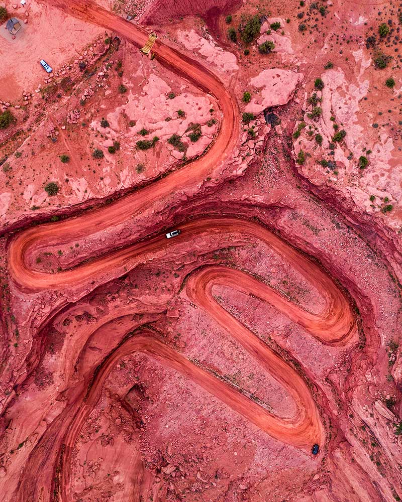
See Your Land, Course, or Project From a Higher Perspective
Golf Course Flyovers
We specialize in cinematic drone flyovers of every hole — complete with yardage labels, hazards, and landmark overlays. Perfect for club websites, scorecards, and tournament marketing.
Make every property unforgettable. We deliver smooth aerial video and high-res photography that captures the full scale, setting, and value of your listings.
The drone footage brought our entire layout to life. Every player now starts their round with confidence thanks to the aerials and labeled hazards
Mark Holloway
Course Director, Twin Palms Country Club
Professional, Precise, Reliable.
From scheduling to final delivery, the team was on-point. The editing quality and flight accuracy were unmatched. Will be hiring again.
Chelsea Raines
Marketing Manager, Cape Coral Golf Club
A Game-Changer for Our Club
They didn’t just shoot video — they told our course’s story. The visuals help us attract tournaments, events, and new members consistently.
Laura Bishop
Club Owner, Bob-O-Link Golf Club
Our Online Bookings Went Up!
After embedding their flyovers on our site, user engagement shot up. Members love seeing every hole before they even set foot on the tee box.
Greg Simmons
GM, Pelican Ridge Resort Course
FAQs
Frequently Asked Questions
We’ve answered the most common inquiries below — from golf course flyovers to multi-site discounts. Still unsure? Just hit contact — we’re here to help.